Global map to reveal ‘swimways’ of Earth’s fish
A small team of scientists is creating the first global 'swimways' map, a tool they hope will promote stronger policies to save freshwater fish from threats like dams and overfishing
Maria Paula Rubiano • May 1, 2020
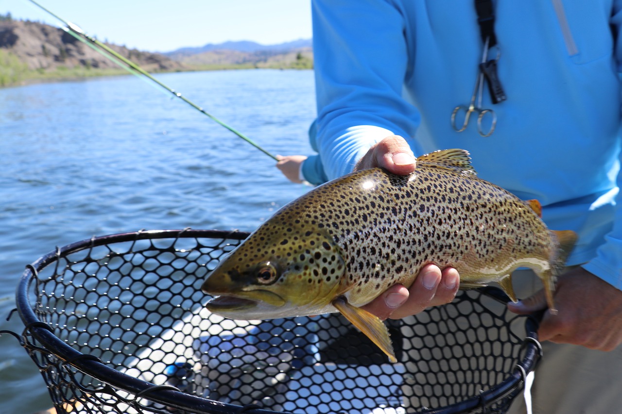
Freshwater fish are important for maintaining ecosystems and human communities worldwide. [Credit: James Hills from Pixabay | Free for Commercial Use]
Just like birds, some freshwater fish make heroic journeys, traveling thousands of miles across oceans, rivers and wetlands to complete their life cycle. The Amazonian dorado catfish takes the longest trip of them all: it swims over 7,200 miles in South America, from the Andes Mountains to the Amazon river estuaries near the Atlantic Ocean. The survival of many freshwater fish depends on these journeys. But unlike avian odysseys, whose flyway maps are now available online thanks to collaborations between observers and researchers, no single map currently depicts the collective journeys of the world’s fish.
A group of scientists is now trying to fill that gap by creating the first global swimway map. Their idea is to provide a detailed portrait of the routes that millions of fish journey in their lifetime. This big picture could help conservationists protect fish from endangerment due to extreme changes in their ecosystems. Freshwater species are not only important for biodiversity reasons, but also for the livelihood of an estimate of 20 million people who depend on inland fisheries. Families who live in poor countries are responsible for nearly half the catch of all inland fisheries, according to the Food and Agriculture Organization of the United Nations (FAO).
“Migratory fish are unknown and unloved creatures that are quietly disappearing,” says Arjan Berkhuysen, director of the World Fish Migration Foundation, a UK-based non-profit where the idea of the swimways map was born.
In the past 30 years, freshwater migratory fish species have declined by 41%, according to the Living Planet Index, a tool that measures global biodiversity based on population trends of different species. An updated version of this index that will be published soon is expected to show an even much dramatic decline.
Pressures such as overfishing and water pollution are to blame, but many scientists agree that dams are the most significant threat fish face. In 2016, a study led by members of the Aquatic Ecology Lab at Texas A&M University estimated that one-third of freshwater fish populations were at risk of disappearing due to the 450 hydropower plants that are either planned or under construction in the Amazon, Congo and Mekong watersheds — the three biggest watersheds in the world. Globally, more than 3,700 medium and large hydropower dams are either under construction or planned, other researchers have found.
Threats to freshwater fish have huge implications for people, particularly poor communities. Previous research has shown that species threatened with extinction are disproportionately found in freshwater ecosystems and, more importantly, freshwater fish “are the most threatened group of vertebrates used by humans,” FAO stated in its latest report on inland fisheries.
In 2016, researchers from the University of Wisconsin found that fish capture is so important, that it could be the only source of protein for 158 million people globally. In regions like the Amazon, this is not a hypothetical. In the region, migratory fish represent 80%of the protein people eat, says Edwin Agudelo, director of freshwater species research at the Amazonian Institute of Scientific Research (Sinchi).
But despite their importance, fish are often left defenseless and overlooked by major environmental efforts. A project of the United Nations’ Development Program called Sustainable Development Goals doesn’t even mention freshwater fish in its agenda for aquatic life. Most conservation areas focus on protecting vital ecosystems for terrestrial animals, leaving migratory fish vulnerable to habitat, fishing and pollution threats, says Agudelo. The most important migratory species treaty in the U.N., called Convention on the Conservation of Migratory Species of Wild Animals (CMS), tracks the population of 21 fish species. In contrast, they follow 382 migratory bird species.
“People who like rivers and fish are quite jealous when we look at all of the things that are done for birds,” says Berkhuysen, the director of the non-profit behind the swimways map, “but instead of moaning, we thought, what can we learn from that?” Twelve years have passed since that question first captivated him.
Now, a team with members from the University of Cambridge, the U.N.’s World Conservation Monitoring Centre and the International Union for Conservation of Nature (IUCN) are trying to answer it by creating the first global map of the routes freshwater fish travel every year. It’s called the Global Swimway Map, and the first version of this comprehensive map will be published next year.
To achieve this, Berkhuysen’s team has amassed an email list of over 10,000 people focused on fish and river conservation around the world, thanks to an initiative that started in 2014 called the World Fish Migration Day. “They really built a community and a huge network,” says aquatic ecologist Solomon David, an associate professor at Nicholls State University. William Darwall, director of freshwater biodiversity at the IUCN, is one of the members of the network. He joined the Global Swimway Map project in late 2018, after Berkhuysen contacted him. Then, the Cambridge Conservation Initiative decided to fund the map.
The first task of the team was to look at the existing data on migratory fish around the world. National red list assessments, which classify the level of extinction risk of species, and other monitoring records are their primary sources along with data from the huge network of 10,000 scientists.
And even though they are just getting started — they just finished a first draft of the map — they already know that major information gaps exist.
In Paraguay, a small country next to Brazil where the El Chaco, Pantanal and El Cerrado ecosystems meet, there isn’t even a baseline catalog, says Michelle VanCompernolle, a research supervisor at the non-profit Para la Tierra, which advocates for conservation through scientific research and environmental education. In Africa, IUCN’s Darwall says, Lake Malawi is home to about a thousand species, but at least 500 have not yet been officially described in science. “There are big chunks of the world that we may not know enough, maybe 30 or 40% of species, to even tell if they’re at risk of extinction,” says Darwall.
Another challenge is figuring out how to unify data so that information across species and regions can be compiled in a reliable way, says Nicholls State University’s David, who is not involved in the project.
The team is well aware of that, so delineating which migration paths are important for several species is one of their main objectives. “The idea is to come up with a list of potential criteria [for the swimways] and then apply them in a map of freshwater ecosystems, and then see how many important swimways come up,” explains Darwall.
The goal is that the swimway concept eventually will become a global standard, upon which countries negotiate and build conservation agreements, just like flyways are the base for RAMSAR sites, which are critical wetlands for migrating bird species that are protected under an international treaty. As of 2020, there are 2,300 RAMSAR sites around the world. Darwall dreams of something like this but for freshwater fish.
Additionally, the team will try to reveal the scale and extent of the impact of dams on migratory fish, overlaying maps of dams that are planned and under construction on the final Global Swimway Map. So, the map could prove useful if a country plans to build a dam for a hydroelectric power plant: stakeholders can look at the swimway map and position the plant in a more strategic way that minimizes the impact on biodiversity.
Ultimately, the goal is to raise awareness, says Darwall. “If a forest is logged or burned, it’s pretty obvious. If the coral reefs bleach, it’s pretty obvious. But you can have a lake that is full of species or completely destroyed, and from the surface, it’ll look exactly the same.” Maybe mapping the underwater excursions of fish will change that.
Filed To
Share
About the Author
Maria Paula Rubiano
Before arriving in New York, Maria Paula worked as a full-time staff reporter for El Espectador, one of Colombia’s leading newspapers. She has traveled on helicopters, boats and canoes looking for stories about water resources and deforestation.